Or a mountain, come to that, at least not in the singular sense.
If the person who named the place had been completely honest – not that I wish to denigrate the truthfulness of someone who clearly lacked at least one other talent, namely creativity – he or she would have opted for “Moderately Tall Mountains”. ”
Which isn’t an improvement on High Mountain, no matter how accurate.
Catering aside, High Mountain certainly deserves a name based on its eminence.
This is part of the split between the Main Fork of Anthony Creek to the south and the North Fork of that creek, which is, as you may have inferred, to the north.
The tallest of High Mountain’s four peaks – all within half a mile of each other – stands at 6,629 feet. It’s about 1,300 higher than the valley bottoms on either side, and the grades leading up to High Mountain, especially on the south side, are steep enough to raise a mountain goat’s heart rate.
There are times, however, that a decent gravel road runs along the south side of High Mountain. This makes it possible to hike to the highest peaks of High Mountain on a moderately challenging route that follows a few lightly traveled roads.
I will concede that the landscape of this northern extension of the Elkhorn Mountains can seem a little dull compared to the alpine grandeur of the Wallowas or the higher parts of the Elkhorns to the south.
But there are other attractions.
The high mountain hike includes a lesson in recent history and ancient geology.
In addition, the tamaracks, which seem a little behind their usual schedule, no doubt because of the mild autumn, will soon arrive at the peak of their seasonal show, illuminating the slopes with their yellow-orange needles.
High Mountain’s story is one of fire and ice.
It was engulfed in flames during the Anthony Fire in 1960. Although its size – 20,000 acres – might seem mediocre in our current era of megafires, six decades ago the blaze sparked by lightning was nearly unprecedented in its scale and effect.
The ice came eons before.
During two major ice ages, one about 150,000 to 200,000 years ago, the other about 10,000 to 30,000 years ago, a glacier formed in the valley now occupied by the main fork of Anthony Creek, the stream that flows from its namesake lake. just east of the ski area.
Emily Geraghty, a geology student at Whitman College in Walla Walla, Washington, studied the glacial history of the Elkhorns in the late 1990s. She concluded that the Anthony Creek Glacier extended about 8 miles during the period. most recent glacial and about 7.5 miles over the older glacial stanza.
These rivers of ice carved a classic U-shaped valley through the granitic rocks of the Bald Mountain batholith, the formation, itself about 140 million years old, that makes up the northern half of the Elkhorns.
From the top of the High Mountain, the shape of the valley, distinct from the V-shape of a gorge carved out only by water, is evident.
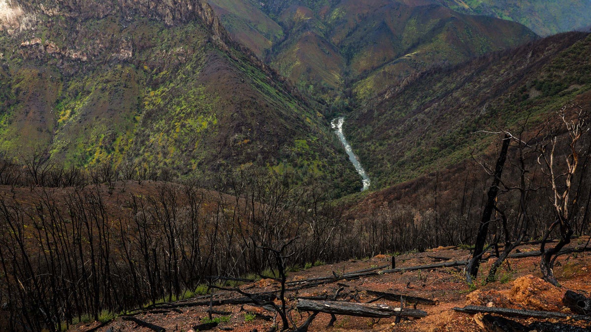
The scars from Anthony’s fire aren’t so obvious, mostly because the slopes denuded by the flames, just months before John F. Kennedy was elected president, are now obscured in most places by dense forest.
Lodgepole pine, the conifer whose cones appreciate and in some cases depend on the heat of a fire to release their seeds, is the predominant species.
But ponderosa pines have also returned to the warmer, drier south-facing slopes. On the hike to High Mountain, you’ll also come across scattered white pines, which are rare in the Blue Mountains, and the much more common Douglas firs and, thankfully, tamaracks that dot our austere evergreen forests with touches of color every fall.
My wife, Lisa, and I started our hike at the junction of High Mountain Road, 4380, and 4380-100 Road, also known as Holroyd Road (more on that name later).
From there it’s 2 miles to the top, with an elevation gain of about 700 feet. Most of it is in the middle of the hike as the first half mile or so, which is near a stream, is almost level.
This creek, curiously, has no name on my map even though it runs a few miles west into Webfoot Meadow, which lends its name to another small creek that follows a similar course. Both creeks flow into Anthony Creek.
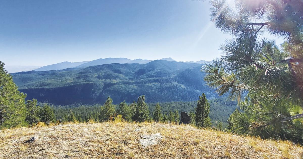
Although most of the high points in Anthony’s Fire Country are forested to the top, High Mountain’s summit is a pleasant exception.
It’s much more of a plateau than a pinnacle, an almost flat expanse covering a few acres.
It would make a good camp, except there is no water nearby.
Also, I expect the wind to be a bit gusty at times on this exposed high ground.
Views, however, are good.
To the southwest, the craggy peaks around Anthony Lakes are arranged like in a diorama – most of Van Patten Butte on the left, the series of thorny peaks stretching across the horizon on the right, Angell and Lees peaks , Lookout Lakes, Gunsight .
A band of Wallowas dominates the eastern horizon.
I wonder, every time I get such a sweeping view of Anthony’s fire, what it must have looked like in the late summer of 1960, when the blackened bark still clung to the scorched trees and the ground was thick with acrid ashes.
I looked through back issues of the Herald – the Baker Democrat-Herald at the time – and was fascinated by the progress of the fire, which began with a pair of fires started by one of the worst dry thunderstorms never ignited. the Wallowa-Whitman National Forest.
The storm swept through on July 19, 1960, and its high-tension bolts started at least 80 fires. Two of those in the Anthony Creek area merged a day later to become the Anthony Fire.
The conflagration eventually covered 20,000 acres and burned about 20 million board feet of timber, according to contemporary reports. As many as 3,900 people worked on the blaze, which one story, citing regional fire officials, described as “the worst blaze in the Pacific Northwest”.
But the Anthony fire, although its tally in area and board feet cannot match several subsequent fires, was a particularly terrible event for this region from a human perspective.
Three people died from the blaze, but none were overcome by flames or smoke.
The deaths occurred in two plane crashes.
On July 22, 1960, a B-25, a former Air Force bomber converted into a retardant tanker, crashed near Webfoot Meadow.
The two crew members, Larry Englert, 38, and Elliott Corbett, 33, both of Portland, died.
By August 2, 1960, Anthony’s fire was brought under control and crews were cleaning up hot spots.
That day, the Baker District Ranger conducted a helicopter flight to monitor the fire and assess what restoration work would be required.
The two-seater helicopter crashed near High Mountain.
The guard’s name was Wilson C. Holroyd. He was 31 years old.
Although Holroyd survived the crash, he suffered serious head injuries, according to newspaper reports.
Holroyd, who was born in Berlin, New Hampshire and had worked at Baker for just one year, died six days after the crash on August 8, 1960.
The pilot, Quay Jorgensen, 29, of Plymouth, Washington, survived.
The route Lisa and I took, which continues through a saddle and down into the valley of the North Fork of Anthony Creek, is named after Holroyd.
Surprisingly, given our perspective of the 21st century where planes so rarely fall even in inherently dangerous situations such as firefighting, the fatal B-25 and helicopter crashes weren’t the only accidents during the two weeks the Anthony Fire burned.
On July 25, 1960, a much larger helicopter, carrying nine people, also crashed.
Fortunately, none of these passengers suffered anything other than minor injuries in this accident.
Despite its modest dimensions, High Mountain is something of a historic place, based on the significance of the events that happened nearby.
The air tragedies are a particularly dark chapter.
Holroyd was survived by his wife, Priscilla, and what the Democrat-Herald described as “four grandchildren” (their ages were not mentioned) – Sara, Carol, Patrick and Stephen.
The next time I walk the road that bears Holroyd’s name, I’m sure I’ll reflect on the accident that forever affected this young family who once lived in Baker City.
I’ll think about how the effects of a single lightning bolt can propagate, like the ripples when a stone is thrown into a still pond.
There is small consolation, I suppose, that Wilson Holroyd’s legacy lives on on a lonely road where, most of the time, the only travelers are deer, elk and coyotes. At least it’s a nice place.
But I wish this map tribute was made to honor a man only after a lifetime of good works, rather than to commemorate a life that ended so soon.